By Cindy Yurth
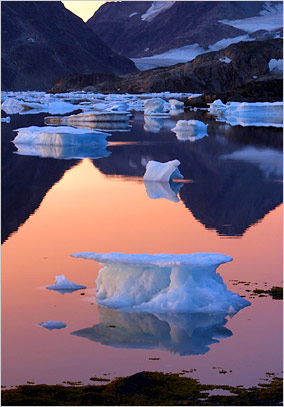
The first year, Sifford developed a way to use data from global imaging systems to monitor fluctuations in snow and ice fields.
That garnered him a lecture tour on the climate change circuit, and he was also able to parlay his newfound knowledge of GIS into a contract position mapping cultural archeology sites for the Confederated Tribes of Grand Ronde in Oregon.
"I work out of my home and on my own time, so it's ideal for a college student," Sifford said.


No comments:
Post a Comment